Framework contract for the implementation of the EU quality test in the LPIS database in Brandenburg
GeoAdat Ltd. has signed a six-year framework contract with the Brandenburg Ministry of Agriculture, Environment and Climate Protection for the EU quality control of the LPIS agricultural parcel database.
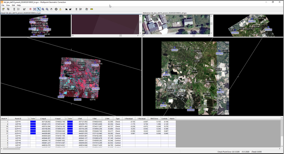
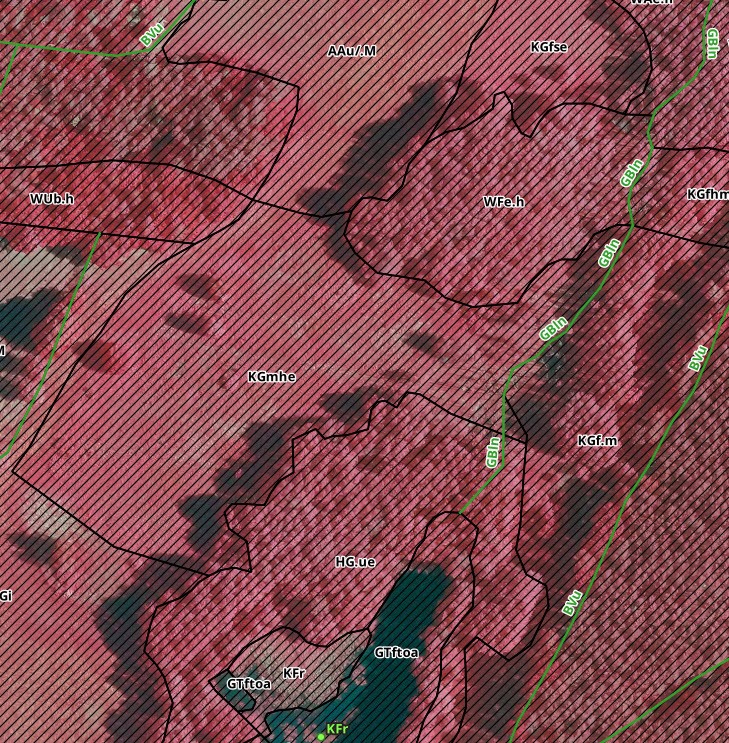
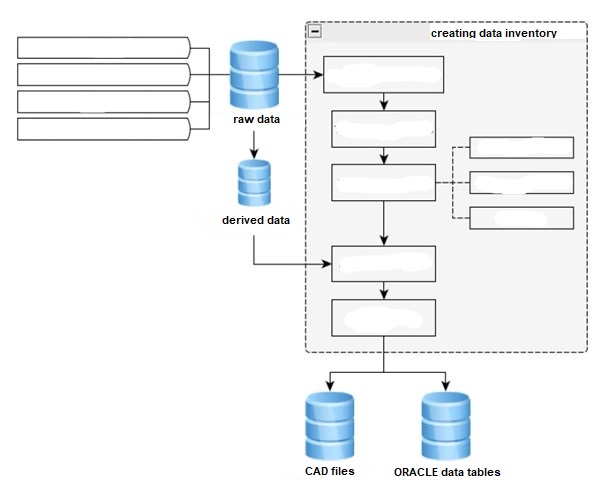
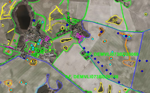
In the project, we will perform georeferencing and orthorectification of aerial photographs and/or VHR satellite images used as reference for the evaluation, as well as test processing of the selected reference parcels. The results of the statistical checks will be provided to the client in XML format in January of the year following the year checked.
To perform the test, we use our company’s technology developed for the analysis of aerial/VHR imagery and our many years of experience in the maintenance and verification of LPIS databases in Germany.