Thanks to the good cooperation over the last 6 years and the quality of the service provided so far, GeoAdat Ltd. has again won the tender “Maintenance of the LPIS (Land Parcel Identification System)”, which was launched by the Ministry of Climate, Agriculture, Rural Areas and Environment of Mecklenburg-Western Pomerania for another 6 years in 2023.
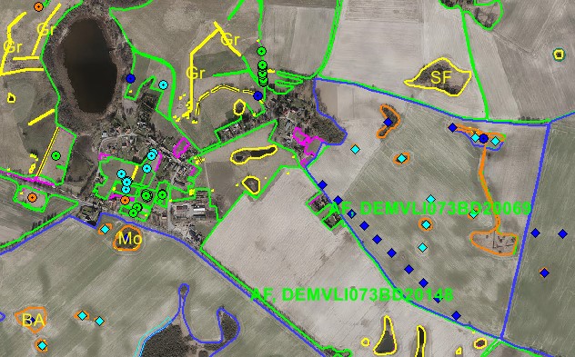
The project, which will start in 2024, involves data maintenance of the LPIS. Linked to the LaFIS-LFK system of the German Ministry, more than 420,000 reference parcels (land block, landscape plot, ineligible area) of almost one and a half million hectares of land will be checked at least twice over 6 years.
The project will be carried out by experienced colleagues with a solid background in geoinformatics, cartography and remote sensing, thus ensuring the usual reliable work of GeoData Services Ltd.