
Satellite images
Home / Satellite images
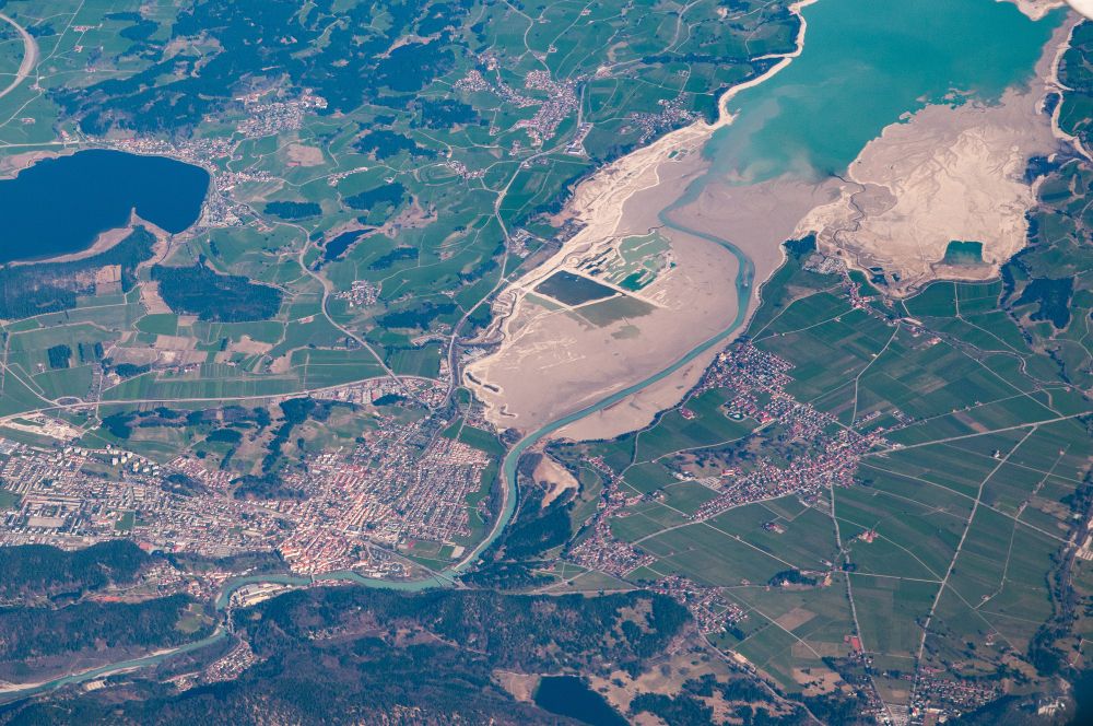
Advantages of using satellite data:
- Continuously and with short notice available, up to daily updates
- High precision, multispectral and multichannel data with up to 30 cm geometric resolution
- Cost effective, quick and easy availability, no need for extra preparations such as permits, flight planning or flying the area
- Already small areas (25 km²) are available
GeoData Ltd. distributes nearly all commercial satellite images. Both programmed and archive images.
Very high resolution sensors available
| Provider | Sensor | Type | Resolution |
|---|---|---|---|
| KARI/SIIS | SpaceEye-T | MS VHR | 0.3 m |
| KOMPSAT-3 | MS VHR | 0.5 m | |
| KOMPSAT-3A | MS VHR | 0.4 m | |
| KOMPSAT-5 | SAR | 0.4 m | |
| KOMPSAT-7/7A | MS VHR | 0.3 m | |
| Airbus | Pléiades 1A/1B | MS VHR | 0.5 m |
| Pléiades NEO | MS VHR | 0.3 m | |
| Vision-1 | MS HR+ | 1 m | |
| SPOT 6/7 | MS HR+ | 1.5 m | |
| Vantor | WorldView-1 | PAN VHR | 0.5 m |
| WorldView-2 | MS VHR | 0.5 m | |
| WorldView-3 | MS VHR | 0.3 m | |
| WorldView Legion | MS VHR | 0.3 m | |
| SpaceWill | SuperView-1 | MS VHR | 0.5 m |
| SuperView-2 | SAR | 0.5 m | |
| GaoFen-2, 7 | MS VHR | 0.8-0.65 m | |
| SuperView NEO-1 | MS VHR | 0.3 m | |
| SuperView NEO-3 | MS VHR | 0.3 m | |
| SuperView NEO-2 | SAR | 0.5 m | |
| Planet | Scope/Fusion | MS HR+ | 3 m |
| SkySat-1 | MS VHR | 0.5 m | |
| ARPS | MS VHR | 3 m | |
| Iceye | Iceye | SAR | 0.25-0.5 m |
| ST Engineering | TeLEOS-1 | mono/optical | 1 m |
| TeLEOS-2 | SAR | 1 m | |
| DS-EO | MS VHR | 0.5 m | |
| Taiwan Space Agency | Formosat-5, 8 | MS HR+ | 2-1 m |
| AxelGlobe | GRUS-1 | MS HR | 2.5 m |
| GRUS-3 | MS HR | 2.2 m | |
| Geosat | Geosat-2 | MS HR+ | 1 m |
| GalaxEye | Drishti | SAR and MS HR+ | 1.5 m |
| Plan-S | Observa | MS HR+ | 1.5 m |
| KazeoSat | Kazeosat-1 | MS HR+ | 1 m |
| Kazeosat-2 | MS HR | 6.5 m | |
| Satellogic | Merlin | MS HR+ | 1 m |
| NextGen-1 | MS VHR | 0.3 m |
Additionally, other sensors are available upon request (e.g. TerraSAR-X, COSMO-SkyMed).