References
Home / References
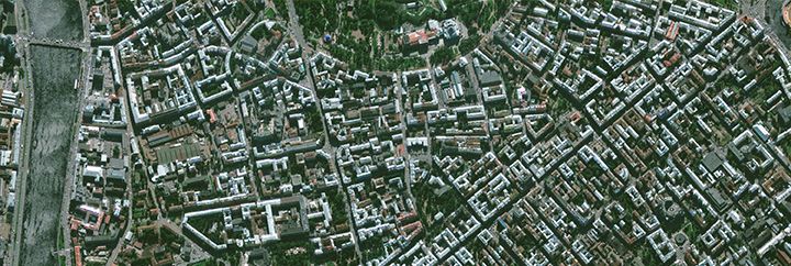
Remote Sensing and Earth Observation
- Control of area-related agricultural subsidies (area aids) with remote sensing (CwRS) and on-the-spot checks, Germany
- Brandenburg
- Saarland
- Mecklenburg-Vorpommern
- Sachsen-Anhalt
- Sachsen
- Update of the German Land Parcel Identification System (LPIS), Germany
- Sachsen-Anhalt
- Mecklenburg-Vorpommern
- Automated detection of „NON-VEG” fields (areas without vegetation) on the basis of satellite imagery and RPAs („Referenz-Pflegeaufträge”), under the update and maintenance of agricultural areas database, Mecklenburg-Vorpommern, Germany
- Inspection of all eligible areas in Saarland (Germany) with monitoring based on Sentinel and Planet satellite images
- CERT-EO-UP - Controlling Eco-agriculture with Re-timing technology via Earth Observation; ESA
- Vegetation Change Detection in Sudan Using Satellite Imagery, ESA
- Quantitative Analysis of Forest Area Change and Illegal Logging Detection in Montenegro Using Satellite Imagery; ESA
- Framework agreement for VHR image data processing (orthorectification) in six German federal states
- Nature conservation site inventory (biotope mapping): Comprehensive update of the biotope and land use type mapping from 2009 based on digital color infrared ortho aerial images from 2021/22; Germany, Sachsen-Anhalt
- Vegetation analysis using satellite technology, E.ON Digital Hungary Kft.
- „Cert-EO“ – Feasibility study to support agriculture and food certification through remote sensing based services; ESA
Quality Control
- Quality control of the GeoGIS migration
- Quality assurance of the EEGIS migration in the GeoGIS system
- LPIS Quality control in Germany, Brandenburg
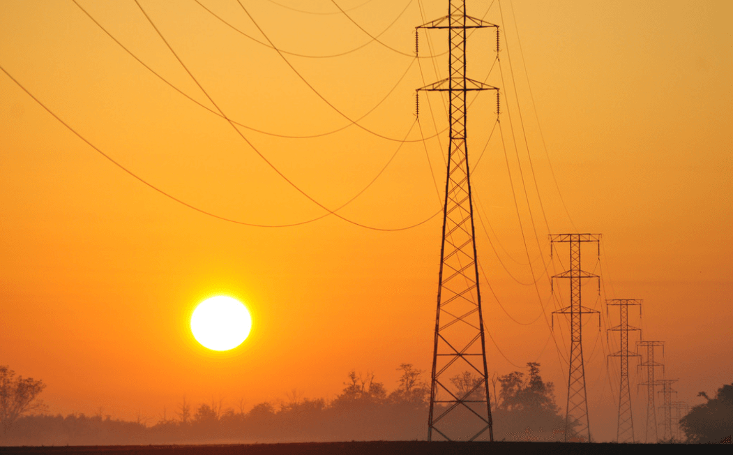
Utilities and other database services
- Base map and address database maintenance, MVM ÉMÁSZ Electricity Network Ltd.
- Internal renovation of E.ON transformer station
- Publishing planned e-utility networks
- Substation survey in the ELMÜ service area
- Data provisioning of the FŐTÁV base maps for Geometria Kft.
- Data provisioning of the Fővárosi Vízművek base maps for Geometria Kft.
- ELMŰ Mapping Database
- ELMŰ Connection and HMKE (Household-Scale Power Plant) Change Management
- Optical Network Data Recording and e-Utility Publication Preparation, ÉMÁSZ Hálózati Kft.