Remote Sensing (RS) services
Home / Remote Sensing (RS) services
Development
The extremely rapid development of information technology and the latest research results in earth observation create opportunities for users to apply the latest, most advanced technologies.
The strategic goal of GeoData Ltd. is to involve users as partners in developing the practical application of new technologies that allow users to perform their own activities more efficiently, at a higher technical level, and in less time. Our company participates in several international development projects in the field of earth observation together with its user partners. A significant advantage for users cooperating with our company is that they can apply the practical results of the developments free of charge.
The T-BEA (Tool for Biomass Accessibility with Earth Observation Technology) research and development project is an integral part of EUREKA. The project aims to explore, identify, delimit, quantitatively and dynamically (temporarily) estimate the quantities of woody biomass that can be used for energy purposes.
Earth observation services
GeoAdat Ltd. has been involved in the processing of earth observation data since 1997. Based on the experience of recent years, the processing of satellite data effectively supports the following activities:
- State administration, including agricultural subsidies, disaster management, nature conservation, territorial administration
- Agriculture, including precision farming, yield estimation, organic/organic farming
- Industrial and other services (transport and automotive industry, construction industry, insurance services, etc.)
To solve its tasks, GeoData Ltd. continuously develops and applies the latest technological solutions.
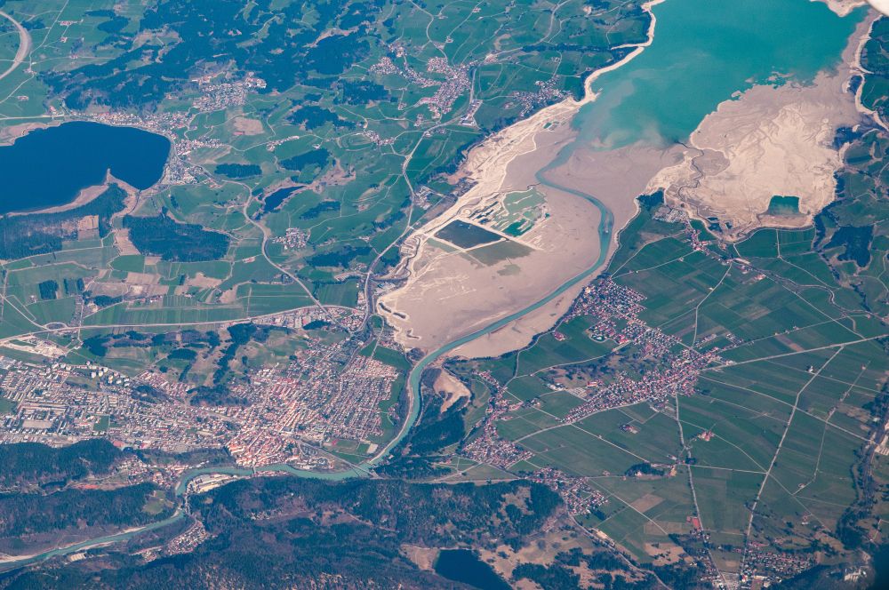
Satellite images
Advantages of using satellite data:
- continuously and with short notice available, upto daily updates
- high precision, multispectral data with even 30 cm geometrical resolution
- cost effective, quick and easy availability, no need for extra preparations such as flight planning, on-site work or flying the area. High accuracy, up to 40 cm geometric resolution multispectral, multichannel data
- Already small areas (25 km2) are available
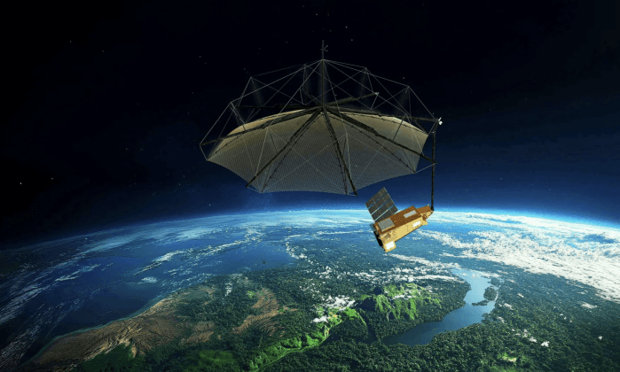
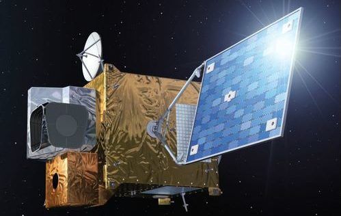
GeoData Ltd. distributes nearly all commercial satellite images. Both programmed and archive images.
Very high resolution sensors available:
| PROVIDER | SENSOR | TYPE | RESOLUTION |
|---|---|---|---|
| KARI / SIIS | KOMPSAT-2 | MS HR+ | 1 m |
| KOMPSAT-3 | MS VHR | 0,5 m | |
| KOMPSAT-3A | MS VHR | 0,4 m | |
| KOMPSAT-5 | MS VHR | 0,4 m | |
| KOMPSAT-7/7A | MS VHR | 0,3 m | |
| Airbus | Pléiades 1A/1B | MS VHR | 0,5 m |
| Pléiades NEO | MS VHR | 0,3 m | |
| SPOT 6/7 | MS HR+ | 1,5 m | |
| Vantor | WorldView-1/2/3/4 | MS VHR | 0,5–0,3 m |
| GeoEye-1 | MS VHR | 0,4 m | |
| SpaceWill | SuperView-1/2/NEO-1 | MS VHR | 0,5–0,3 m |
| GaoFen-2/7 | MS VHR | 0,8–0,65 m | |
| Planet | Scope / Fusion | MS HR+ | 3 m |
| SkySat-1 | MS VHR | 0,5 m | |
| SkySat-2 | MS VHR | 0,9 m | |
| Iceye | ICEYE | SAR | 0,25–0,5 m |
| ST Engineering | TeLEOS-1 | Optikai | 1 m |
| TeLEOS-2 | SAR | 1 m | |
| DS-EO | MS VHR | 0,5 m | |
| Taiwan Space Agency | Formosat-5/8 | MS HR+ | 2–1 m |
Additionally, other sensors are available upon request (TerraSAR-X, Cosmo-SkyMed, SPOT, Pleiades).