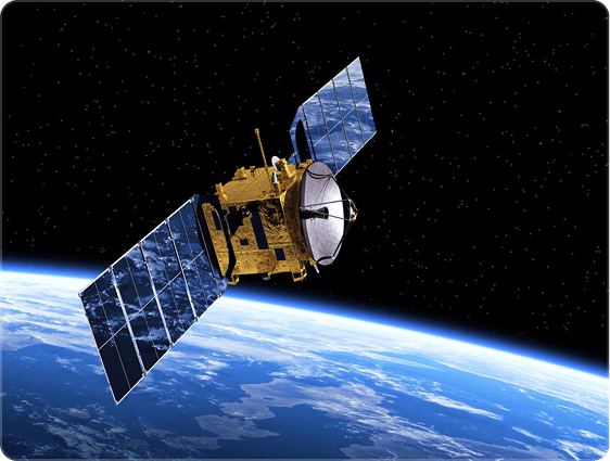
GeoData Ltd. offers high-resolution, multi-band images from international satellite systems with an accuracy of up to 40 cm. They also provide full-scale processing, preparation and thematic map creation for the images.

Earth observation services
GeoData Ltd. has been involved in the processing of earth observation data since 1997. Based on the experience of recent years, the processing of satellite data effectively supports the following activities
Services
GeoData Ltd. supports decision-making, development and research in various industries with modern remote sensing and GIS services. The following solutions give customers access to precise, up-to-date and customised data.

Sale and processing of satellite images

Time series and change analysis
Analyses based on multi-year satellite image series help to monitor land cover, land use or agricultural processes. Ideal for environmental protection, agriculture and urban development.
Quality control and monitoring
Complete control of databases and processes, ensuring consistency, error detection and accurate documentation. The monitoring system supports decision-making with periodic reports.
E-utility and GIS databases
Creation, updating and maintenance of customized utility registration systems, base map and sector databases. The service complies with legal and technological requirements and is available 24/7.

Research and development collaborations
GeoData Ltd. participates in international R&D projects such as T-BEA or REMEDI, where the latest technologies in earth observation are tested. The practical results are available free of charge to partners.
About us
GeoData Ltd. provides quality services to its domestic and foreign partners for their special geospatial databases:
Our goal is to enable our customers to access information from their databases more efficiently and at a higher technical level with the geospatial solutions developed and applied by our company, and to better utilize their data. We provide our services, which have been operating reliably for several years, in accordance with the ISO-9001, ISO-27000 standards and the German IT-Sicherheit regulations.
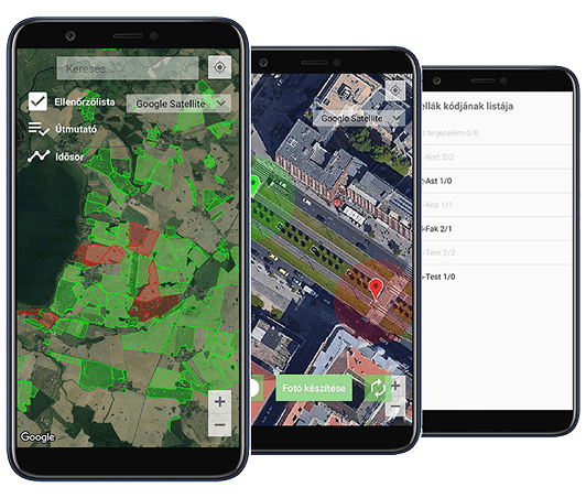
The mobile app that makes field inspection easier
The idea behind the creation of FABER was to provide a simple platform for taking pictures and verifying the existence of the claimed crop. FABER offers a suitable solution for field verification of area-based agricultural subsidies.
With the help of the application, users can easily take authentic, certified photos of their land plots after registration. In addition to the visual content of the photos, the location and time of the photo, the ID of the person who took the photo, and the unique ID of the parcel authenticate the photo.
Our partners