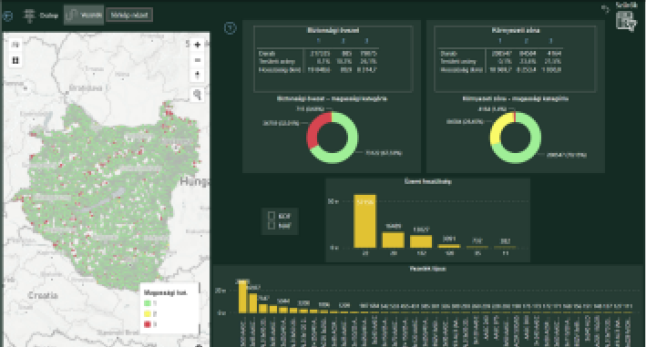
On November 30, 2021, E.ON Digital Technology Hungary took over the monitoring solution developed by GeoData Services Ltd.: the basic vegetation register and its scheduled regular update, which can be related to the utility’s electric and gas network elements and is produced by satellite remote sensing, started operating. The register contains all the vegetation conditions that can be used to support the management of maintenance processes.
The identification and delimitation of vegetation elements and prohibited activities, which can be identified on the ground, will be carried out in a geo-spatial environment using image analysis software. In order to increase the reliability of the result data extracted from the European Space Agency’s Sentinel group of satellites, time-series data will be analysed (increasing geometric resolution, content identification) in order to increase the geometric resolution and content identification available from each image.
Data publication is done through the online interface of the Vegetation Monitoring System, with modules built from map and business BI elements based on user needs.


